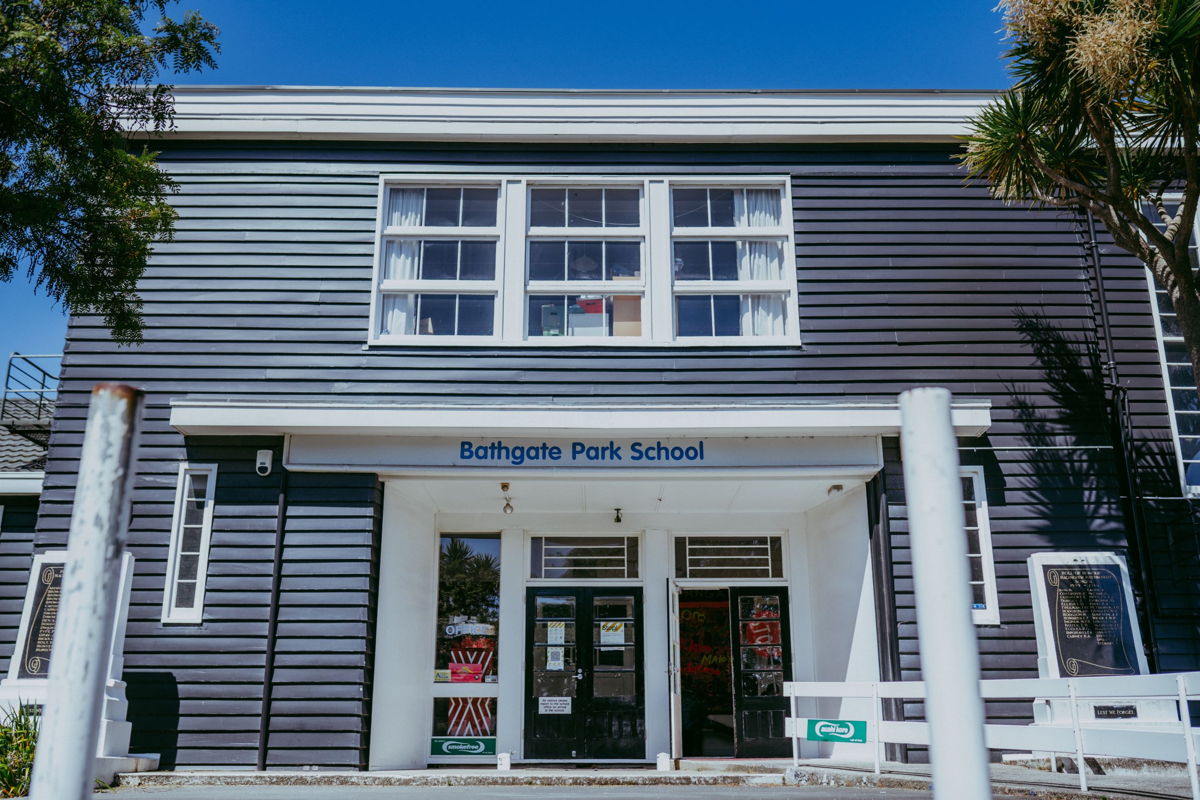
Katrina Robertson well remembers 3 June 2015. She had woken to heavy and persistent rain. By midday, there was significant ponding around Bathgate Park School in South Dunedin where she is principal.
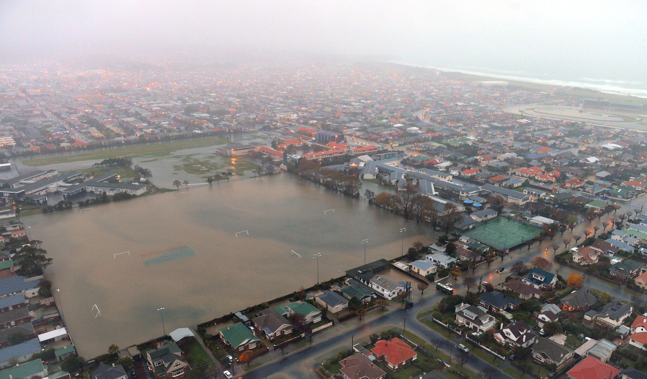
“Our school was quickly becoming an island in the middle of a lake,” she recalls. “On either side of us are Bathgate and Tonga parks and they were filling with water. People were kayaking on one and hundreds of gulls were sitting on the other. It was clear that we had to evacuate, so we began contacting all of our families.”
Bathgate Park School had only been open for three years so the emergency was the first test of its systems. “Fortunately for us things went fairly smoothly and we were able to clear out the school quite quickly. There were a few cases where contact numbers didn’t work, but families were getting the news from other sources.”
As the rains fell it was obvious to everyone in the district that this weather event was a big one. Everywhere, wastewater systems were overwhelmed, roads were flooded and businesses and homes were beginning to take in water. Across Dunedin, emergency services kicked into action. Rest homes were evacuated and the New Zealand Army began sandbagging as the city prepared for high tide at 4.30pm.
Rain continued to fall into the night and by the following morning, when the skies cleared, more than 1,200 South Dunedin houses and businesses had been damaged. Thousands of locals had been forced to leave homes that were no longer habitable. Fortunately, Bathgate Park School was largely undamaged.
“If you look at the historic aerial footage at the height of the flooding, you can see our buildings totally surrounded by water,” says Robertson. “The flood stopped rising a couple of metres short of our doorways and apart from a few leaks caused by the intensity of rain, we were okay. Like everywhere else we had sewage contamination, but we were very lucky.”
The school closed for two days while staff mobilised, going into the community to do whatever they could to assist families. They helped move furniture away from still rising water and offered a hand moving families as well. “We had a huge number of displaced families,” says Robertson. “Some found themselves split up and scattered across the city.”
“That was hard for them,” says Robertson. “People had lost possessions in the rising water and now, they were homeless. It was fortunate that school was able to open quickly and provide some normality for our children and families.”
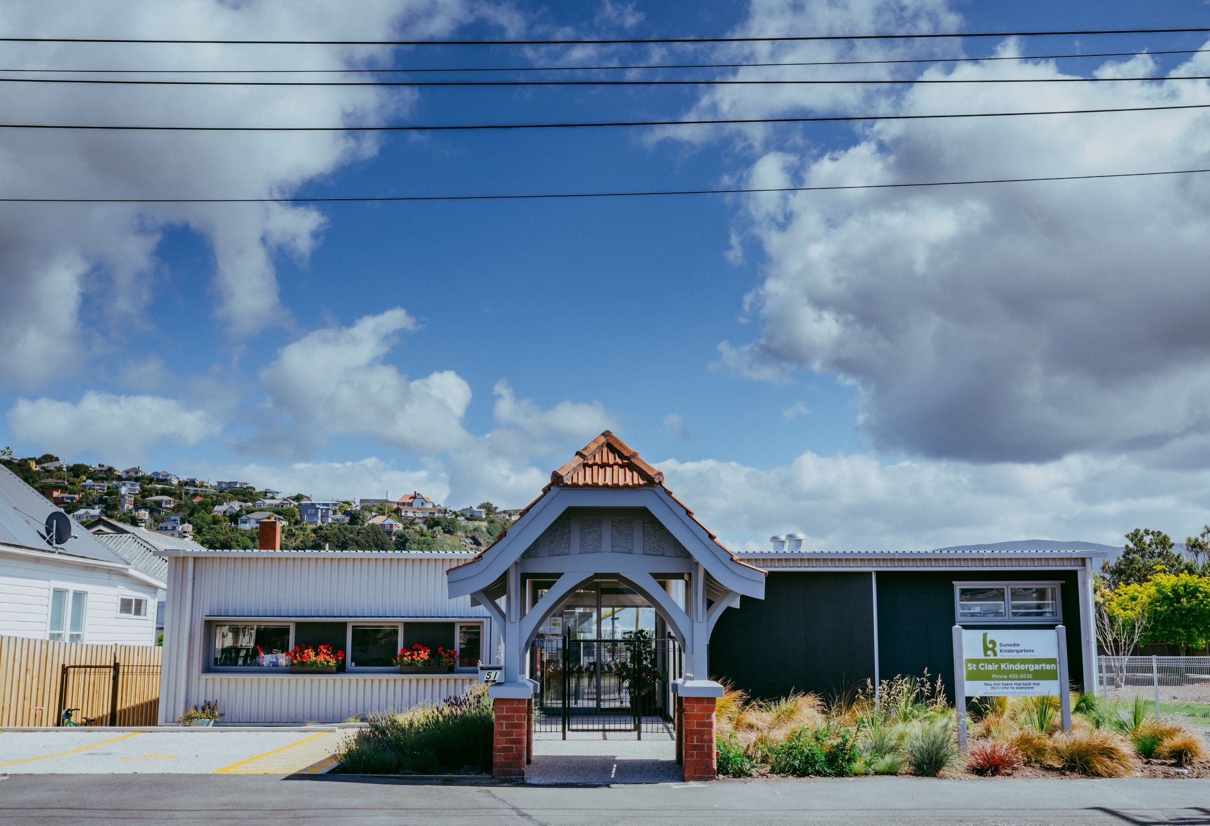
Of the twenty-four kindergartens run by Dunedin Kindergartens (Mana Manaaki Puāwai o Ōtepoti), three were not so fortunate. While all were impacted by the flooding, St. Clair Kindergarten was hardest hit.
“The damage at St. Clair was so great that in the aftermath we decided restoration wasn’t a viable option,” says Dunedin Kindergartens General Manager Christine Kerr. “Instead we decided on a complete rebuild.”
Teachers and support staff working in flood-damaged centres faced additional work and stress over days and weeks. Teaching materials were rescued and there were days of clean-up with bark and sand having to be replaced because of sewage contamination.
Insurer IAG estimated the economic and social cost of the event at $138m while schools and social services saw the damage to the emotional wellbeing of families. “Anxiety and trauma became visible very quickly and continued for months afterward,” says Robertson.
“Thankfully, the insurance companies played ball in 90% of cases, but for others there was a battle for restitution. Some of our people, who were in rental accommodation, couldn’t get their landlords to repair the water damage. That remained an ongoing issue because houses remained damp for months and often mould became a problem as well. We felt that in our school with elevated health needs.”
The stress of the flood was compounded by the worry that another one might be just around the corner. “Every time it rained, for about a year after the June flood, you could sense stress levels rise in our families,” says Robertson. “Our children picked up on that. Students who had been forced out of their homes or been separated from family members during the flood were particularly anxious, believing it might happen again. Teachers worked hard to comfort and reassure them.”
The fears were real. The flooding of 2015 had exposed the vulnerability of the community to the ravages of weather and climate change. Major weather events in 2017 and 2018 reinforced the severity of the problem.
South Dunedin was once wetland edging the sea and a catchment for water draining from the neighbouring hills. Reclamations of the wetlands first began in the 1860s when Chinese settlers, drawn to Otago by the gold rush, began to drain pockets of swamp around St. Clair and establish market gardens on the land.
By the turn of the century the reclaimed area amounted to 155 acres, upon which intensive housing for a growing working class, commercial buildings and an array of community facilities were crammed. A carpet of concrete and asphalt made much of the area impervious to seepage, but also hid the fact that just below was a water table that would respond to every change in climate or land use over the years.
Following the 2015 flood, a series of investigative bores identified the median depth of the water table has been rising for many years and a major downpour brings it closer to the surface. Unlike most aquifers, the water table is connected to the sea so that when the tide rises, so does the groundwater. Failures in the wastewater system also amplify the danger of flooding. That is what happened in June 2015 – a build-up of debris at the entrance to the major water treatment plant at Tahuna (combined with maintenance failures of mud tanks) turned South Dunedin into a giant lake.
“There is general agreement amongst experts that … climate change impacts on South Dunedin will grow”
Once the waters receded after “the big flood”, Dunedin City Council worked quickly to identify the failures in the wastewater system and fix the problems with the mud tanks and the screen at Tahuna. It also began plans to relieve the pressure on South Dunedin by building a major pipeline to divert wastewater from the hill suburbs to a new facility at Green Island. At the same time the Council has encouraged property owners to take their own mitigation measures.
“The Council’s been very good at working with groups like us,” says Kerr. “After the big flood, they said we should expect more ponding in the region and we have certainly seen that around our kindergartens. With advice from local tradespeople we’ve improved drainage and where necessary we’ve installed pumps.”
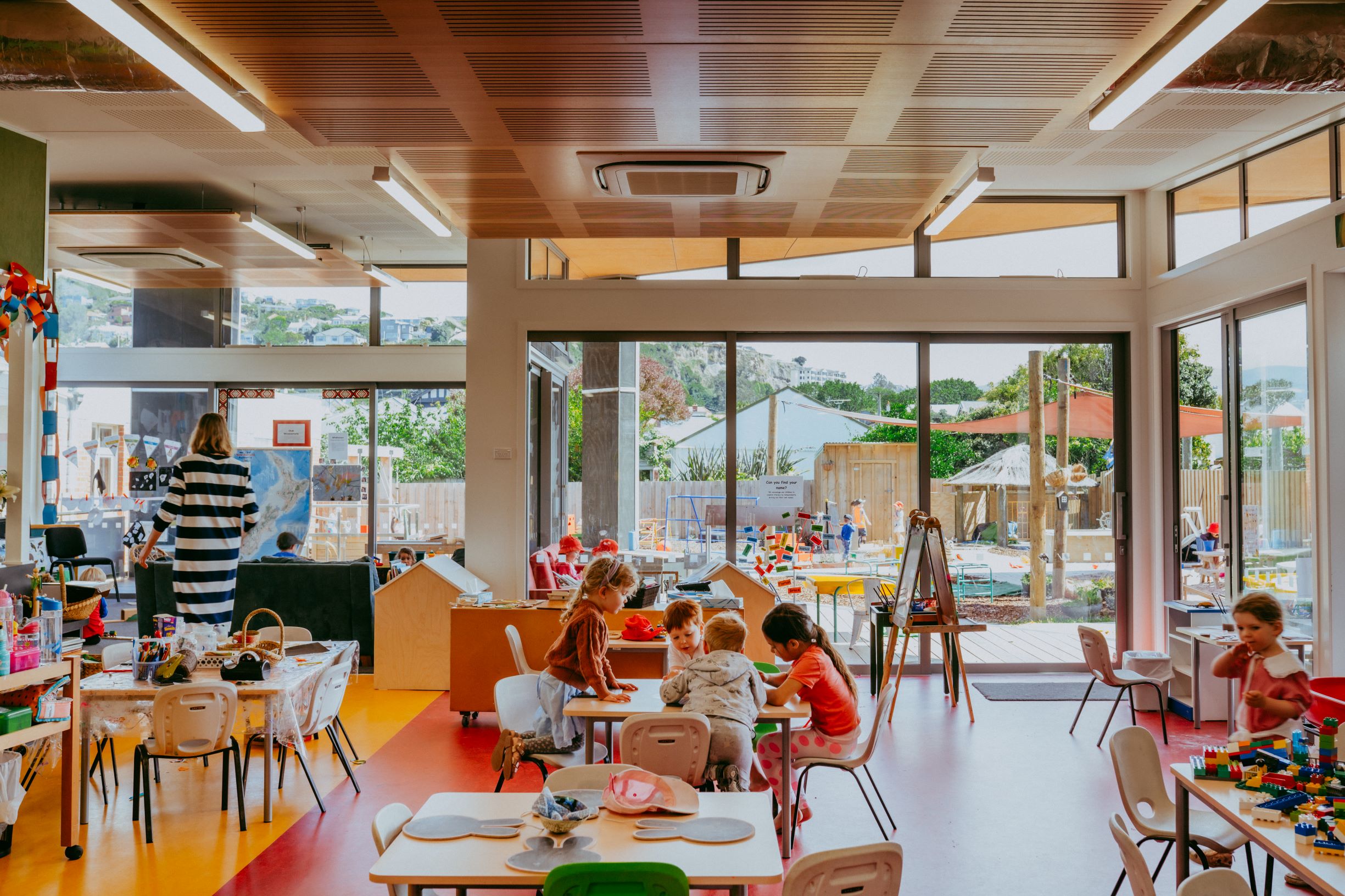
The condemned St. Clair Kindergarten was rebuilt well above specifications so that it was on higher platforms and the kindergarten’s management is considering building options, should they be required at other facilities. Kerr says that future buildings may have to be relocatable in preparation for the worst scenario.
There is general agreement amongst experts that even with infrastructure maintenance and renewal, climate change impacts on South Dunedin will grow. Some have suggested that city planners ought to be focussed on moving residents in the worst affected areas to higher ground.
Senior Communications Advisor for Dunedin City Council Jamie Shaw says that there is plenty more that can be done to make South Dunedin viable before consideration is given to wholesale repatriation.
“There’s an assumption that we either keep things as they are and focus on pumping water away, or we close the suburb and walk away. Neither of those options is going to happen.”
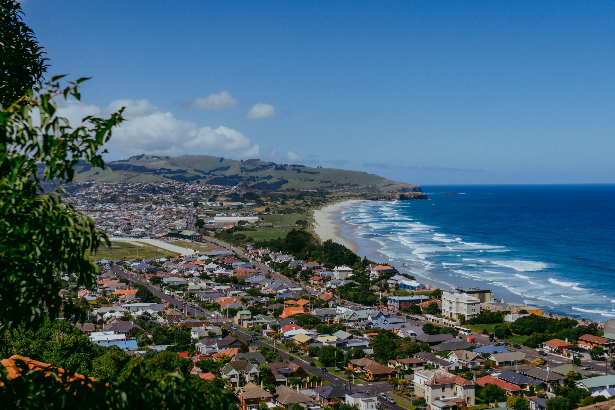
Shaw says that moving 10,000 people and abandoning billions of dollars invested in South Dunedin would be massively difficult and disruptive. As the largest area of flat land in the city it has strong recreation and mobility values. It’s also an area with a proud working class history and a strong sense of community. “People have deep ties to the area,” says Shaw. “They can’t be expected to just move on.”
Council’s strategy is to seek adaptations that will allow locals to “live with climate change”. Thirty-five million has been set aside for research into mid-term responses which might involve the construction of canals, lagoons and lakes – restoring parts of the landscape to wetlands. Other ideas being floated include progressive urban design: roads that tilt towards the centreline, raised walkways, redesigned social housing and adaptable housing.
“South Dunedin has serious social deprivation,” says Shaw. “A lot of the housing stock is run down and there is high unemployment. So, in addressing climate change we can also grapple with those issues and make it a better place, with a better quality of life.”
Key to the Council approach is deep engagement with the community, including holding regular hui across the suburb to inform, educate, get feedback and listen to ideas. “What we are doing here is building a sustained, trusting relationship where the community is informed and part of the long-term plan,” says Shaw.
***
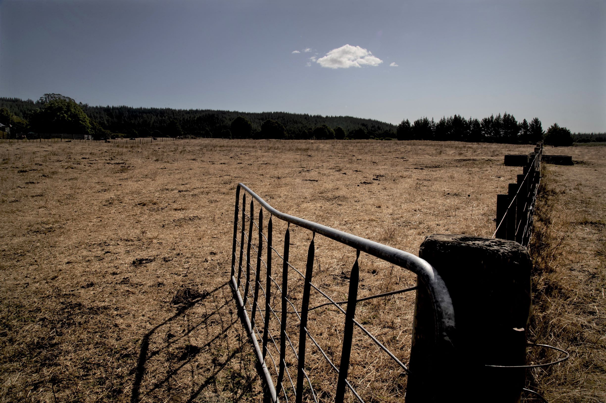
While Dunedin was spared major flooding in 2019–20, the ravages of climate change struck Northland with force. Between January and April 2020, the region suffered its worst drought in more than seventy years – the sixth declared in Northland since 2009, but the most unrelenting that Vern Stevens had seen in his community of Dargaville.
“This time it got to the stage that schools in our district had to close because they were very low on water,” says Stevens who is Principal at Selwyn Park School. “But the community at large has been doing it tough for a long time.”
In 2018 the region experienced a dry winter, and a dry year in 2019 set the area up for the drought that was declared in early February 2020. Dairy and beef farming, the backbone of the Dargaville region, were hard hit.
“Schools serving those farming families felt the pain,” says Stevens. “When families can’t grow enough grass and meet the payments, there’s worry and depression and the kids feel it and that comes into the school. They start to behave in different ways and we have to take care in how we deal with that, so that we don’t place extra stress on those families.”
Stevens was impressed by the response of the Ministry of Education to the water shortage. At the height of the drought the Ministry supplied schools with water tanks, which will assist them in future dry seasons.
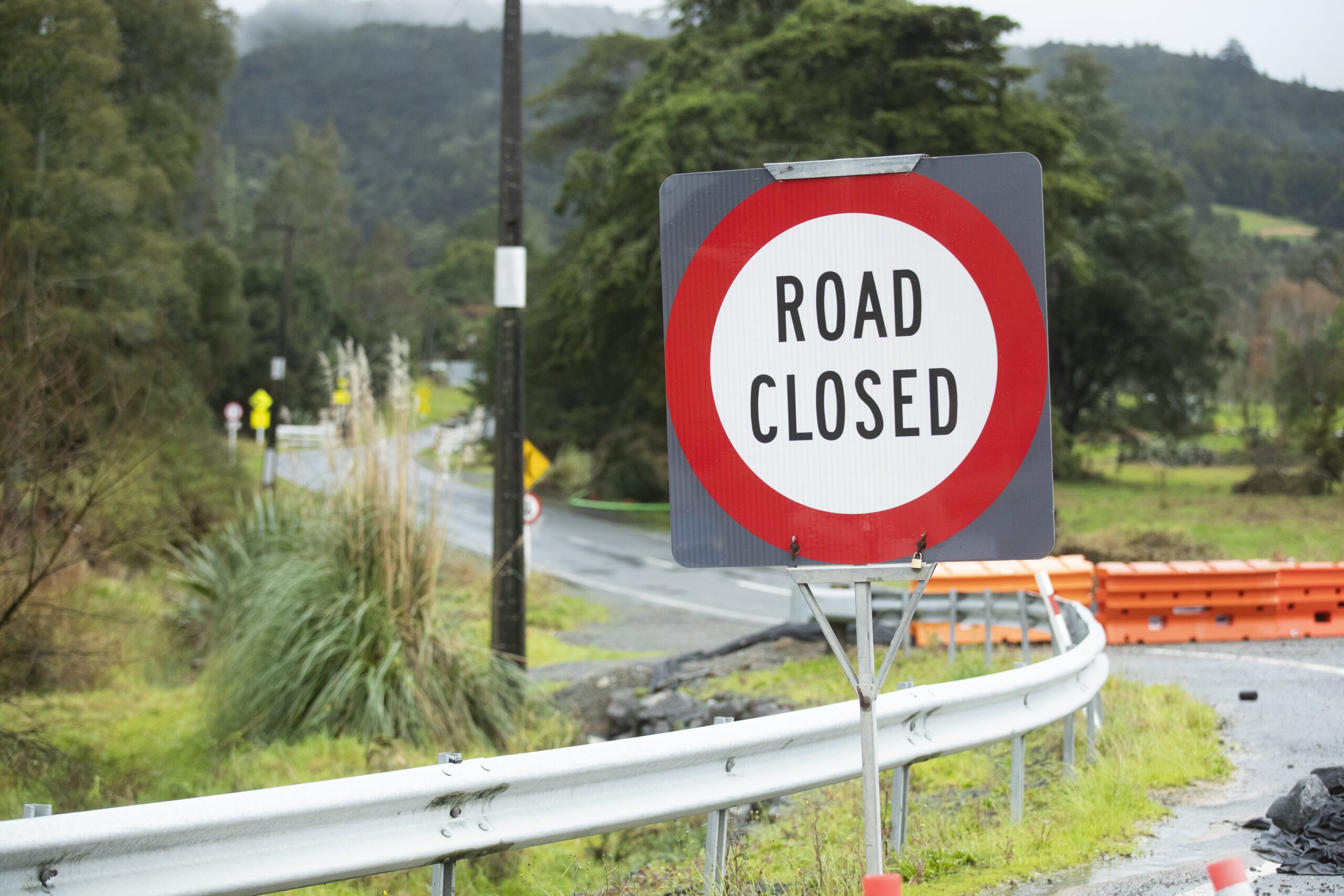
While the big dry was felt right across Te Tai Tokerau, it was the east coast of the region that experienced record rainfall in mid-July 2020. Two hundred millimetres fell in ten hours, flooding rivers, washing out roads and inundating buildings. Evelyn Henare who lives in Tikipunga, a suburb of Whangārei, abandoned her home when water began to flow into it, wading out through deep water with a few possessions. At the same time, Te Kura Kaupapa Māori o Te Rawhiti Roa, where she is Tumuaki, was taking in water.
“School had never experienced flooding before, so when a staff member went to check and found water flowing through the classrooms, they were shocked,” says Henare.
Four junior classrooms and ablution blocks, the library, resource rooms and a newly refurbished staffroom were all damaged so the reopening of school for Term 3 was delayed. For a couple of days staff donned gumboots and gloves and salvaged what they could, throwing contaminated resources and furniture into bins.
When junior students did return to school, it was to doubled-up classes and portable toilets as damaged buildings underwent weeks of repairs. “We’re soldiering on, but it has been a really hard year for students and staff alike,” says Henare.
***
Further north in Kaeo, principal Paul Barker laughs wryly at a weather expert’s comment that the July 2020 flood was a 500-year event. “The 2007 flood was a 100-year event,” he says. “People’s memories are short.”
Kaeo is a town famous for flooding. The 2007 event saw three floods in just six months with fifty-five homes flooded, most of which were uninsured. For Barker, newly installed as Principal, the impact was shocking. “Our school was awash. Water was knee-deep in the hall. The pool complex was smashed over,” he says,
Work done by Council over several years to reduce flooding around the school has prevented a repeat of the 2007 event, but flooding remains a regular event for the town.
“To some extent the problem has been moved further down river, more to the residential area,” says Barker. “It hits people where they live rather than where they come to school. So, we still must close from time to time, not because the school’s in flood, but because of flooding in the community. Weather events are very stressful for our families.”
Barker explains that families are reluctant to send their children to school if there is a chance of flooding, because getting to and from school can be a problem. He also worries about the effects of weather events on the health of families.
“This is a poor town. People are living in homes where there are holes in the floors and walls. A few years ago, we worked to get running water into the home of one of our families.”
Kaeo is one of twenty-six catchments in the Far North where flood reduction work is being undertaken. Many of these were hit by the July flooding, an event that climate scientist James Renwick attributed to climate change. Professor Renwick says that Northland should expect increased frequency of weather events at both ends of the scale, with more heavy rainfall and an increase in droughts.
***
Any article that considers the impact of climate change on our students and families must include some mention of climate change in the Pacific Islands.
The 2019–20 cyclone season was the deadliest for five years with major impacts in Tonga, Samoa and the Cook Islands. Each event impacted Aotearoa New Zealand’s Pasifika communities, which have strong cultural and familial ties to those places.
Aotearoa New Zealand’s Tuvaluan community is particularly conscious of the crisis at home. Many people in Tuvalu have had to leave their homes because of encroaching sea and move to the main island Funafuti, placing severe strains on housing, infrastructure and employment.
Auckland community leader Fala Haulangi says that Tuvaluan people fear for the future. “It’s about my people surviving in this world. They wonder where they can go. There is a shortage of fresh water and they can’t plant crops now in many places, because of the salinity of the soil,” she says.
As people are forced to leave their villages in Tuvalu, Kiribati and parts of Fiji, the wellbeing of communities and individuals is impacted both in the islands and in Aotearoa New Zealand.
“When the lives of families are turned upside down … schools and early childhood centres remain islands of stability.”
“Land is the anchor of identity and culture in Pasifika communities,” says Olivia Yates, a researcher on psycho-social impacts of climate change. “Loss of land has a strong impact on the psycho-social wellbeing of individuals and communities.” Though they are thousands of miles away, Aotearoa New Zealand’s Pasifika communities have strong connections to their family land, which makes climate change a very immediate issue.
***
In all the communities of Aotearoa impacted by climate events, schools continue to play a critical role. When the lives of families are turned upside down by floods, drought or hurricanes, schools and early childhood centres remain islands of stability. Even when a school is damaged as many were in the Dunedin and Northland floods, educators adapt and quickly re-establish routine and structure.
“Principals, teachers and support staff have worked together to provide certainty for children in very uncertain times,” says Katrina Robertson. “Alongside that they use the power of their quality relationships with students and whānau to give support and build resilience.”
Achieving that means creating opportunities where children can safely explore their feelings and build their understanding of what is happening around them, which helps them comprehend the world in which they live.
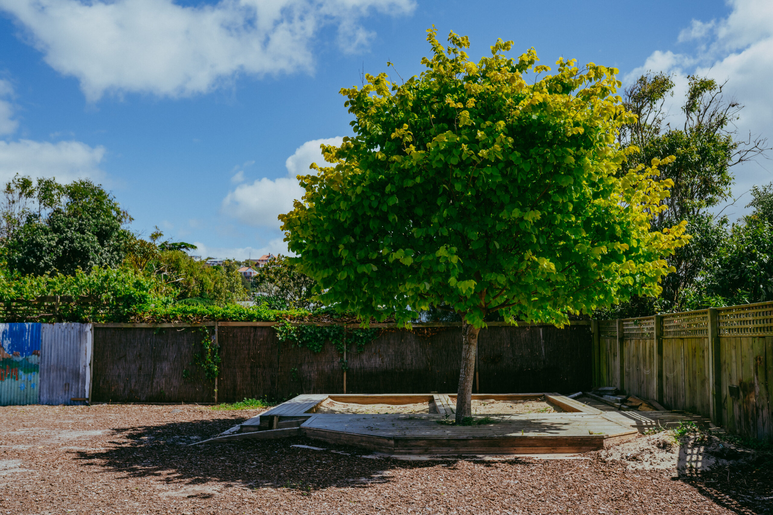
Feature image: The old St. Clair Kindergarten sandpit now sits unused in a lot next door after the flooded kindergarten had to be rebuilt.
